File:Griffonian Continent.png
Jump to navigation
Jump to search

Size of this preview: 799 × 599 pixels. Other resolutions: 320 × 240 pixels | 1,425 × 1,069 pixels.
Original file (1,425 × 1,069 pixels, file size: 2.65 MB, MIME type: image/png)
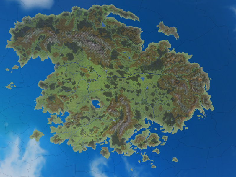
Griffonia geographical map.
File history
Click on a date/time to view the file as it appeared at that time.
| Date/Time | Thumbnail | Dimensions | User | Comment | |
|---|---|---|---|---|---|
| current | 01:57, 13 August 2019 | | 1,425 × 1,069 (2.65 MB) | Stable Zouave (talk | contribs) | == Summary == Griffonia geographical map. |
You cannot overwrite this file.
File usage
The following page uses this file: