File:HIE Ascendancy map.png
Jump to navigation
Jump to search

Size of this preview: 800 × 429 pixels. Other resolutions: 320 × 172 pixels | 2,448 × 1,313 pixels.
Original file (2,448 × 1,313 pixels, file size: 106 KB, MIME type: image/png)
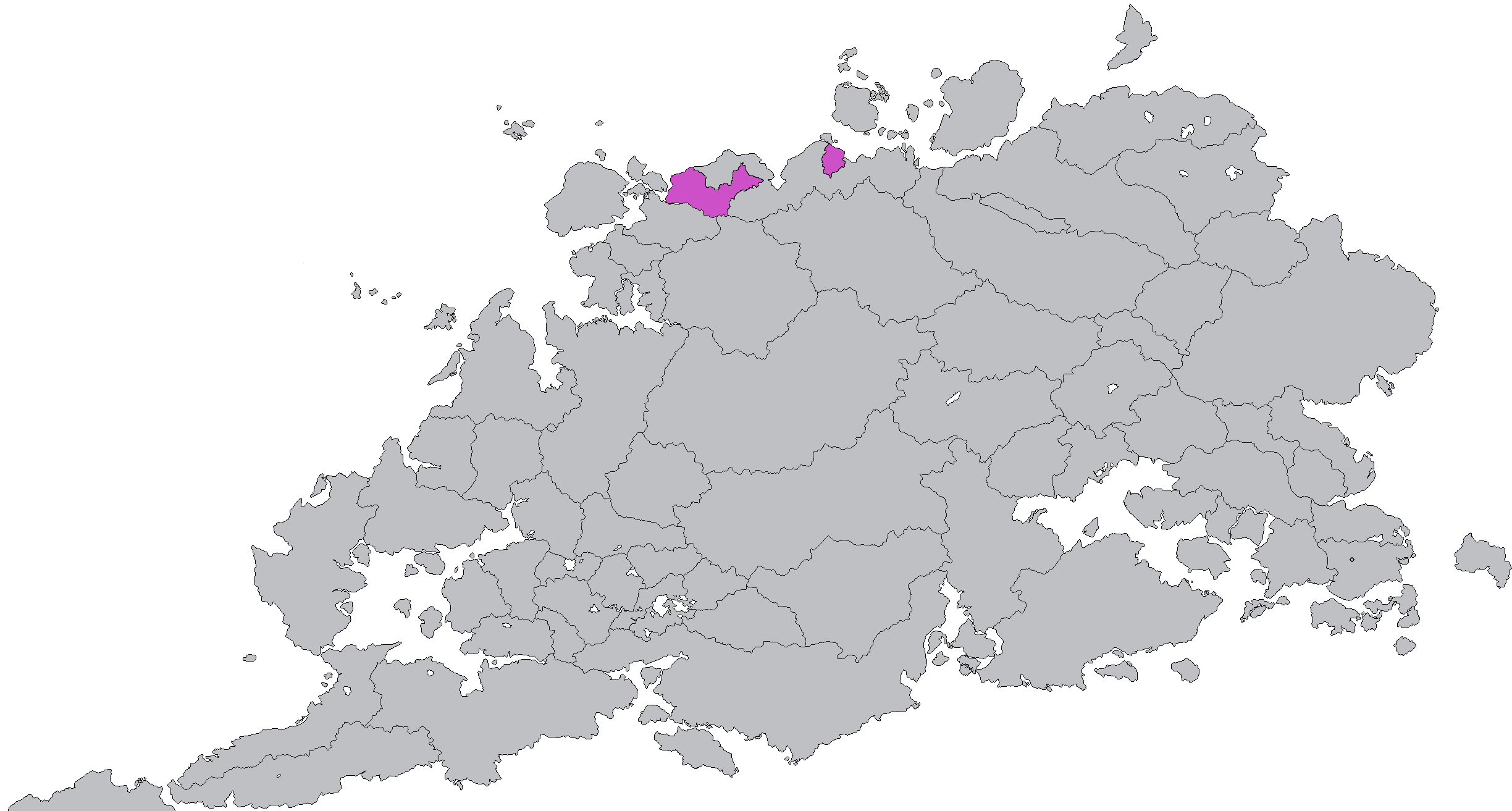
Summary
Map of the territory that Ascendancy controls at the start of the third civil war. Created by editing MustaphaTR2's Colored Equestria at War Map v3.
File history
Click on a date/time to view the file as it appeared at that time.
| Date/Time | Thumbnail | Dimensions | User | Comment | |
|---|---|---|---|---|---|
| current | 12:30, 7 September 2024 | | 2,448 × 1,313 (106 KB) | Vengir (talk | contribs) | Map of the territory that Ascendancy controls at the start of the third civil war. Created by editing MustaphaTR2's Colored Equestria at War Map v3. Category:Map images |
You cannot overwrite this file.
File usage
The following page uses this file: